Over the past year, a group of faculty, staff and students worked on adapting a set of techniques called Precision Conservation for use in teaching and research at Bucknell. The term Precision Conservation refers to a set of methodologies developed by the non-profit agency Chesapeake Conservancy in an effort to more effectively prioritize environmental outreach and conservation efforts. During summer 2015, Prof. Rich Crago, student Elyse Pettaway (Civil & Environmental Engineering ’17) and Bucknell GIS Specialists Janine Glathar and Luyang Ren worked with staff from Chesapeake Conservancy on a pilot project that used the three main components of Precision Conservation – (1) High Resolution Land Cover/Land Use Analysis, (2) Concentrated Flow Path Mapping, and (3) Normalized Difference Flow Index Mapping (NDFI) – to analyze a small section of the Buffalo Creek Watershed. The methodologies are designed to improve the accuracy and resolution of land cover classification data, and provide a more nuanced model of how water flows across land and where it accumulates. Incorporating these methodologies improves our ability to predict nutrient and sediment load that results from runoff, and can lead to more informed decisions on site selection and design for environmental remediation projects.
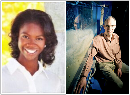
(Pictured: Elyse Pettaway, Civil & Environmental Engineering ’17 & Prof. Rich Crago, Civil & Environmental Engineering)
Elyse Pettaway’s work was funded through a PUR summer research grant and was instrumental in helping us adapt Chesapeake Conservancy’s methods for our research and teaching purposes at Bucknell. Prof. Crago’s work was funded through a Mellon Course Integration grant and led to a re-imagining of his CENG421 (Civil & Environmental Engineering – Hydrology) course. Over the course of the summer and early fall, Prof. Crago worked with local landowners and conservation organizations to create a service learning project that would give students an opportunity to work with a local landowner on designing an engineering solution that would improve the quality of runoff across that landowner’s property.
At this point in the semester, the students are continuing to learn the technical skills they’ll need to use remotely-sensed data and GIS tools to analyze the runoff characteristics of their plot of land. In mid-October, the class will do a site visit to meet the landowners and see the pieces of land they’ll site their project on. Once the students have designed their solution (e.g. a swale, riparian buffer, retention pond, etc.), they will present their work to the landowner or conservation group they are working with.
Stay tuned for updates as the project evolves over the course of this semester.